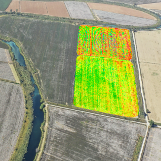
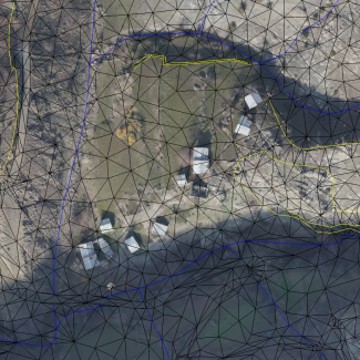
Anomaly detection in agricultural use areas
Monitoring crop plant growth processes with Maptech AgrSKY makes it easy to identify stress zones in your field. It can easily carry sensors of different types features that you will place on it. Multispectral camera, Lidar, optical sensors, magnetic GPR radar systems can be integrated.
Follow the developmental stages of your crops in the field
It gives the opportunity to monitor the health status of your product in your field periodically. Increase your earnings with directly avoidable controls. See field leveling problems before planting, take action.
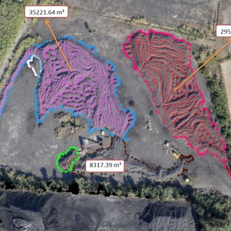
High resolution image
Enjoy the comfort in your long laborious ground surveying studies done with classical methods. You can spend the time you spent outside at the office reviewing your data. Get “cm” accuracy data in three dimensions
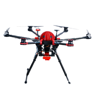
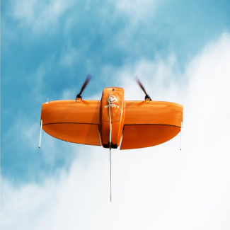
Our fixed-wing UAV's
Our UAVs with a service-purpose PPK module stay in the air for more than 180 minutes. With different interchangeable sensor options, your needs will not lag behind technology. We continue to provide services with our domestic production systems in order to avoid service interruptions.
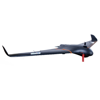
Minimize risks with Wingtra with vertical take-off landing
You will be able to perform safe flights with its land tracking feature, its ability to cover an area of up to 500 hectares with a single battery set, high security features high wind resistance.
To achieve high quality
Save time by staying in the air for a long time thanks to our systems. Process your aerial photographs, obtained with high quality accuracy, in stereomodel 3d image processing programs. Meet our solutions that include dual-frequency PPK-capable modules.